
Curbar Edge - Peak District Walk
Tuesday 24th August 2021
Today's walk was planned so I could achieve two things. One I could do another walk from the book '100 Walks in Derbyshire' and secondly, I could potentially bag three Peak District tops. During Lockdown Three someone asked on Facebook if there was a list of all the summits in the Peak District, something I have often wondered. With no opportunities to legally walk in the Peak District I instead spent some time researching if such a list does exist. So far I have found three potential lists that could form the basis of such a list, although I personally feel all three lists miss out tops that deserve to be included.
This walk will also mean that, as far as the website is concerned, I have walked further this year than I did last year.
Start: Curbar Gap car park (SK 2624 7470)
Route: Curbar Gap car park - Curbar Edge - Froggatt Edge - Grouse Inn - Longshaw Lodge - Wooden Pole - White Edge Moor - White Edge (Big Moor) - White Edge (TP) - Curbar Gap car park
Distance: 8.25 miles Ascent: 297 metres Time Taken: 4 hrs 40 mins
Terrain: Clear paths
Weather: Warm but overcast
Pub Visited: None Ale Drunk: None
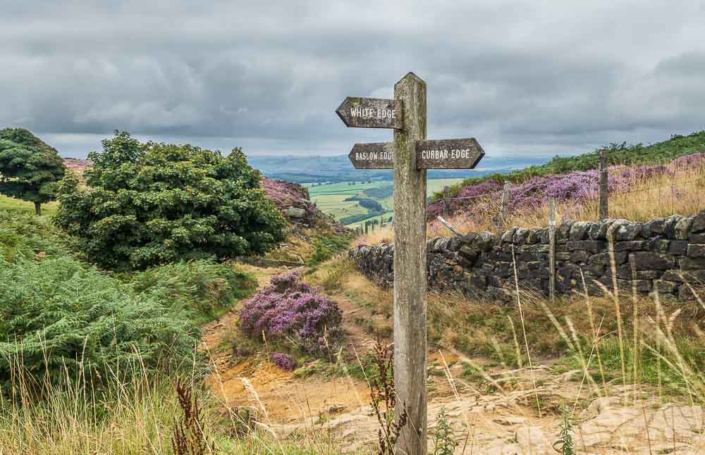
Curbar Edge is my first destination today, with White Edge my route of return. Under normal circumstances I'd walk this route the other way around, as the views are better, but Curbar Edge is the 'honeypot' location so I'd rather do it whilst it is relatively quiet.
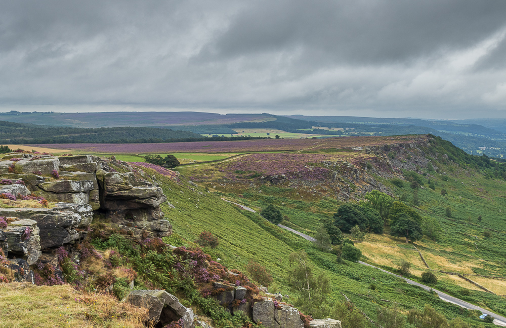
A fairly early start means that Baslow Edge is also quiet.
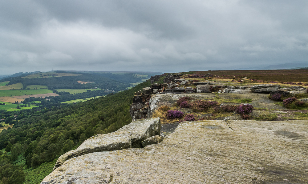
Curbar Edge looks very quiet as well, although it was actually much busier than it looks as there were several people tucked away below the rocks reading or sat with a coffee enjoying the view.
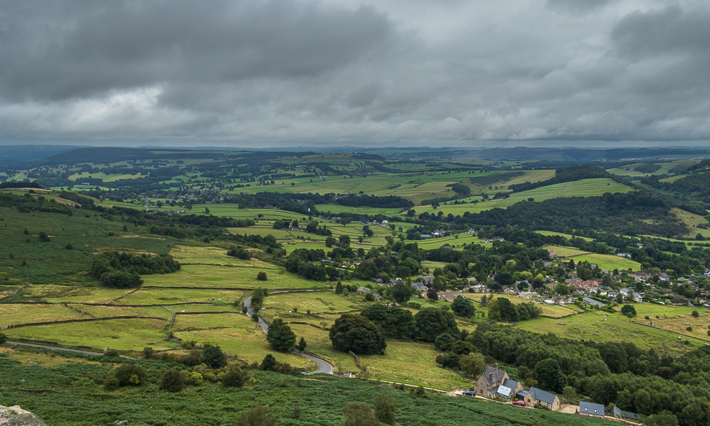
Looking down on Curbar and the Derwent Valley from Curbar Edge.
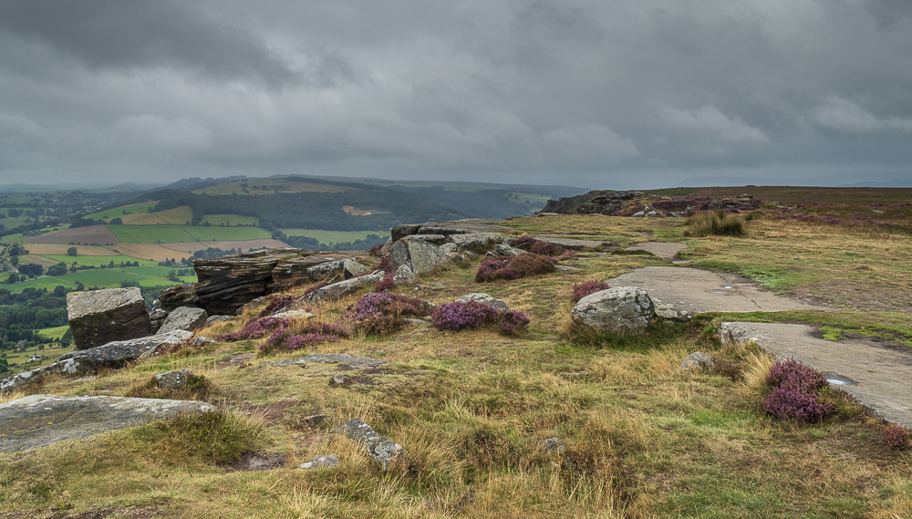
As I headed along Curbar Edge I was looking out for a spot that I had identified as a possible location for the highest point on the edge, which the map suggested was just to the right of the path. It looks like the spot in question may have just come into view.
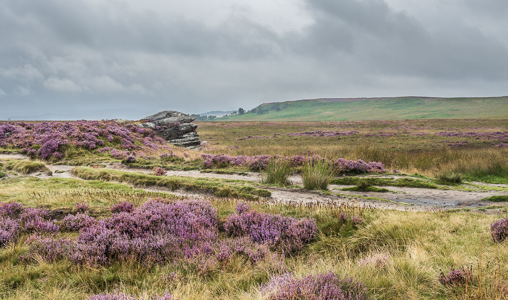
White Edge, which according to my sources lays claim to two Bridgets. One is the trig point, the other is reached before the trig.
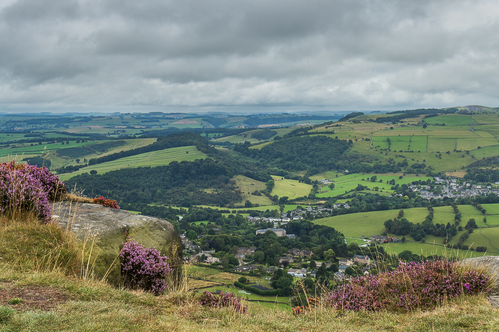
Curbar, Calver and the wooded Bramley Dale from Curbar Edge.
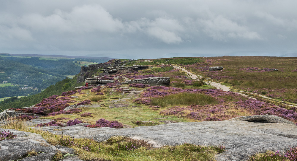
Heading along Curbar Edge and it looks like the spot that is a contender for the highest point on the edge may well also be the location for a cairn.
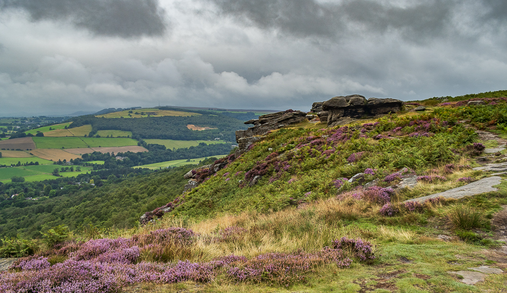
All I have to do now is decide at what point I'm going to go off path. For now I'll wait until the GPS tells me I'm close to one of the possible co-ordinates.
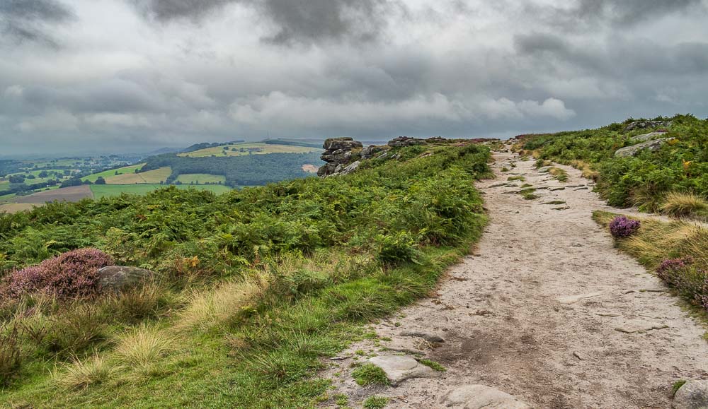
Just up ahead looks like a possible place to venture off the path, especially as it will mean I avoid wading through ferns.
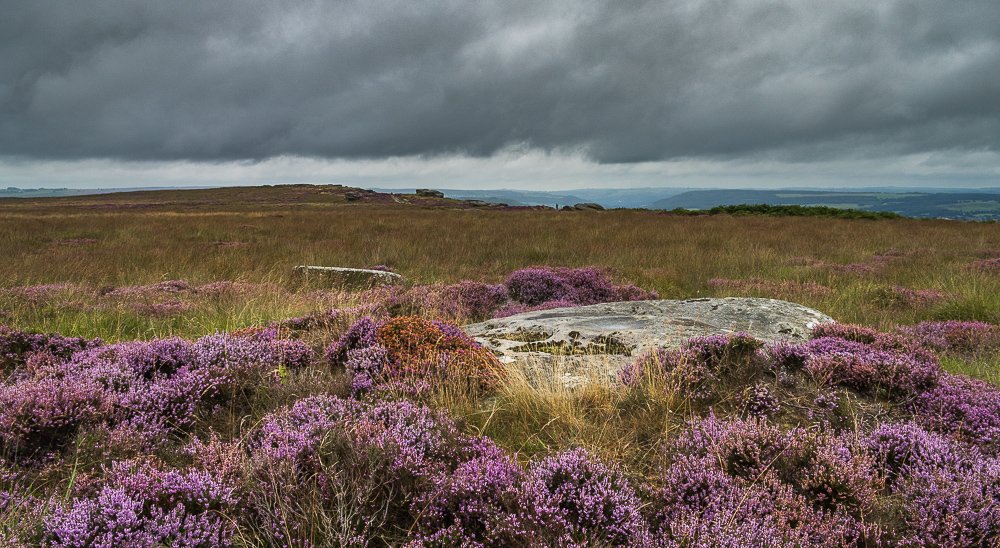
The GPS suggests this is the location for the summit of Curbar Edge, although looking back it would appear there is a higher point along the edge. It could be an optical illusion, but next time I'm walking the edge I'll check it out before asking for it to be added to the list of Bridgets.
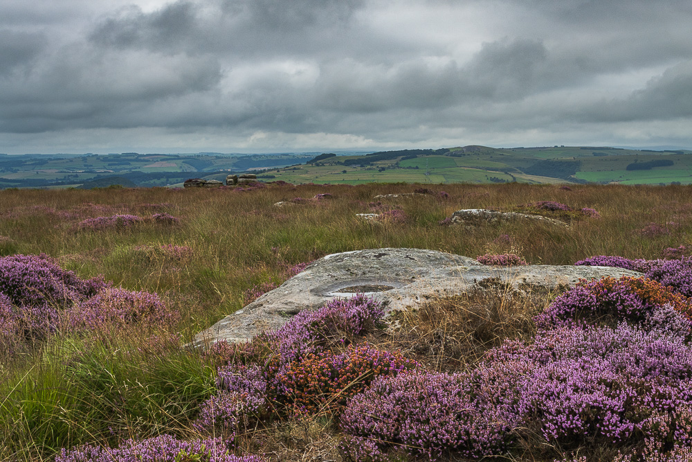
Looking back to Curbar Edge and across the valley to Longstone Moor from the possible summit.
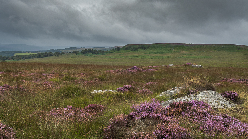
Looking across Stoke Flat to White Edge from the same location.
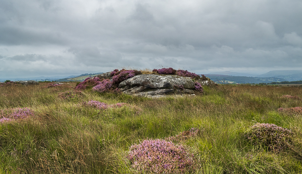
Whilst at the spot I now believe to be the summit of Curbar Edge I thought this location may be a bit higher so I ventured over to check it out. The GPS confirmed that even standing on the rocks it was actually lower.
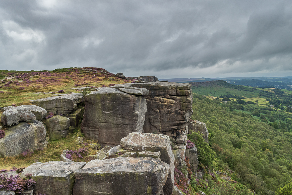
Back on the path I look back to the area where the location for the possible highest point is. As is often the case when viewed from a different angle the reason for a seemingly nothing spot being the location of a 'summit' becomes more obvious.
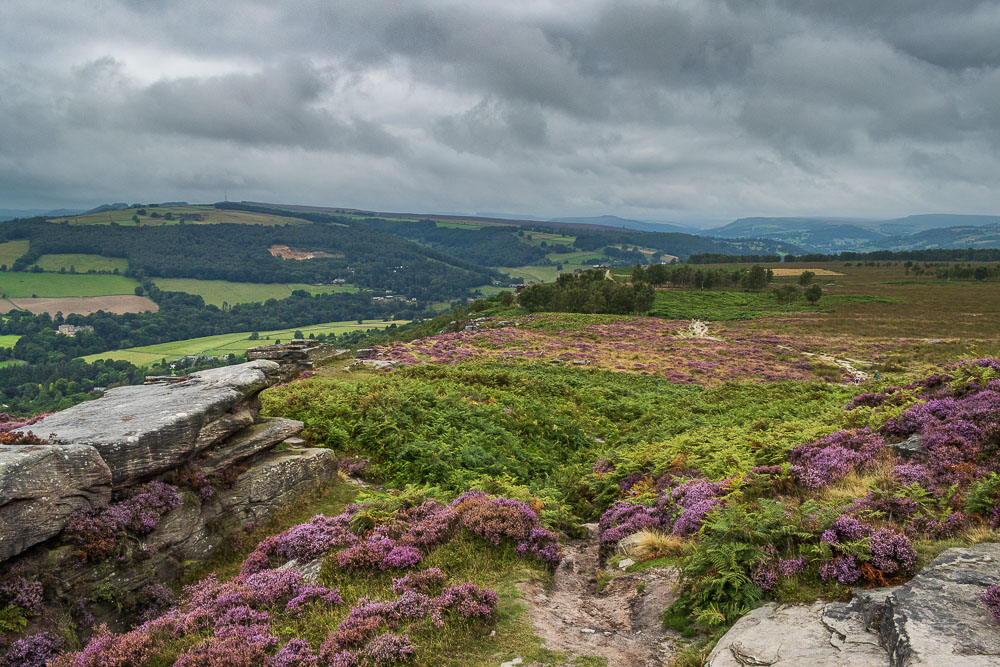
Looking along Froggatt Edge from the point where I will drop down off Curbar Edge.
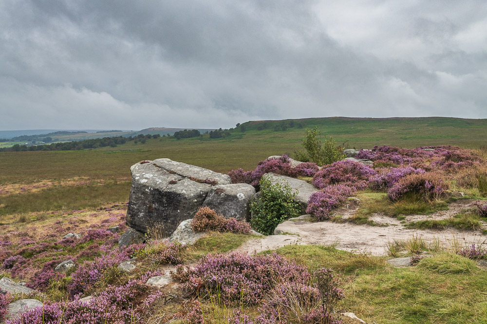
Looking across Stoke Flat to White Edge, with White Edge Moor also in view, which I will be crossing later.
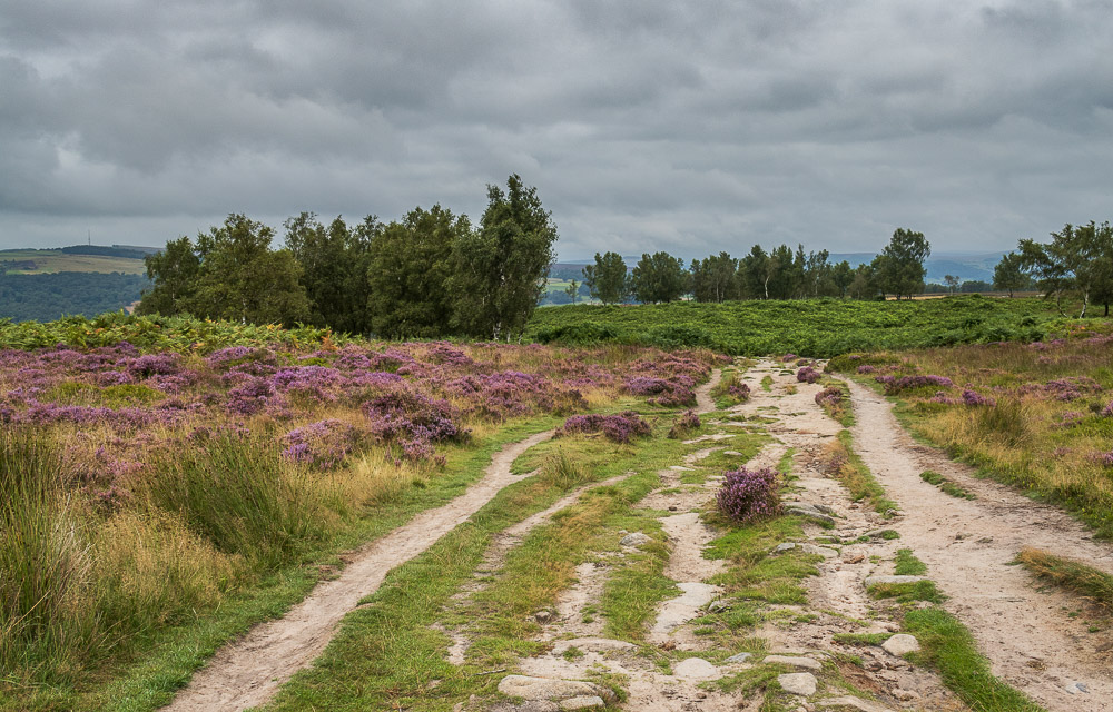
Once Froggatt Edge is reached the trees start to make an appearance.
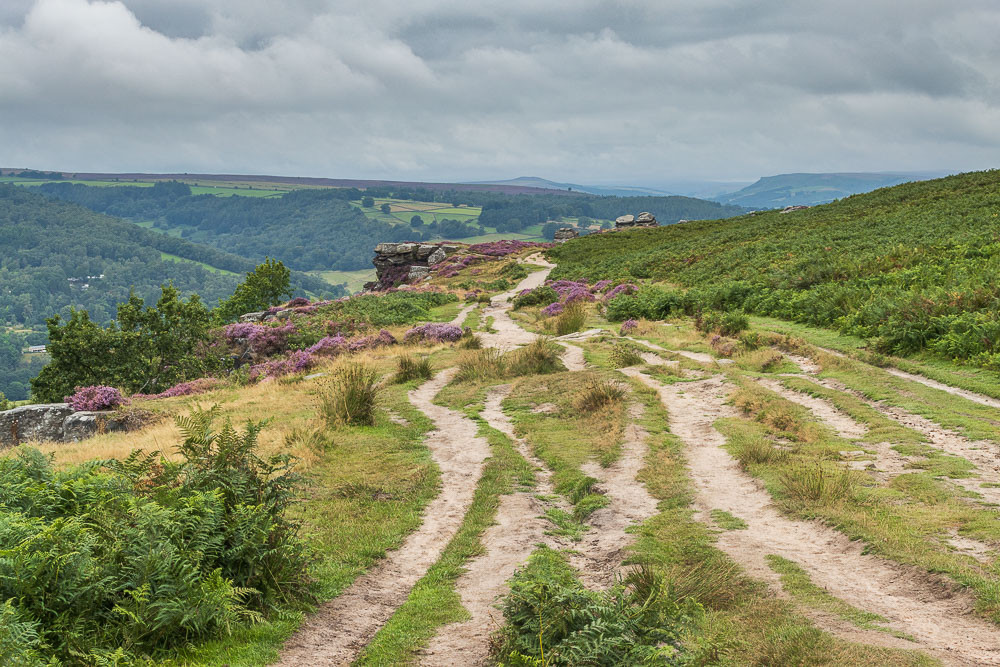
Ahead of me Win Hill and Bamford Edge come into view, although it doesn't look as if the cloud is going to disappear.
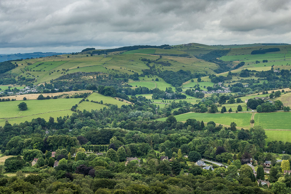
Across the valley Combs Dale can now be seen.
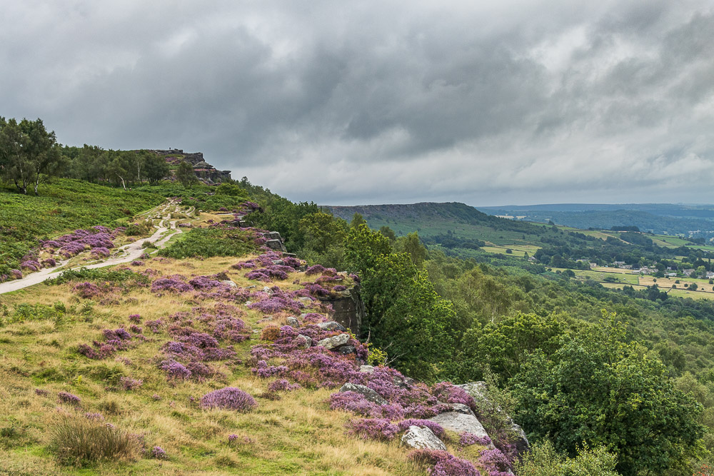
Looking back to Baslow Edge from Froggatt Edge.
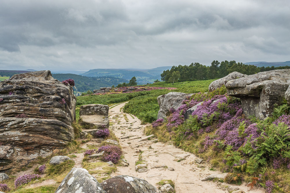
The views along the Derwent Valley will soon be lost, although now Stanage Edge is also visible.
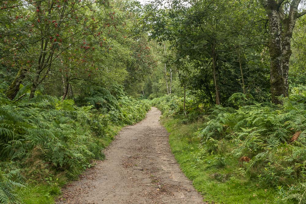
Now that the path heads into the trees the views disappear.
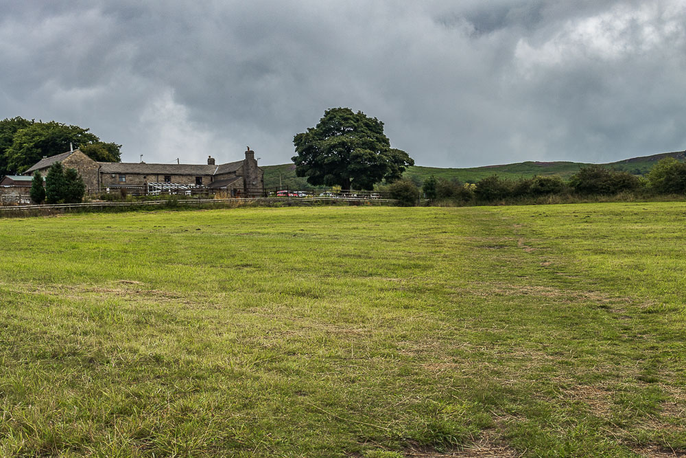
I don't normally use the path on this side of the road, as it just goes to the car park and doesn't really take out that much road walking out. However as I'm following the route in the book I soon find myself heading across the fields towards the Grouse Inn.
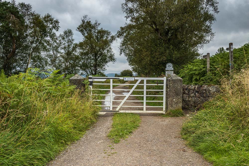
The route now takes me into Longshaw Estate and a section of the estate I rarely visit.
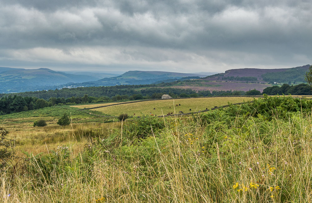
As I walk along the path Millstone Edge comes into view.
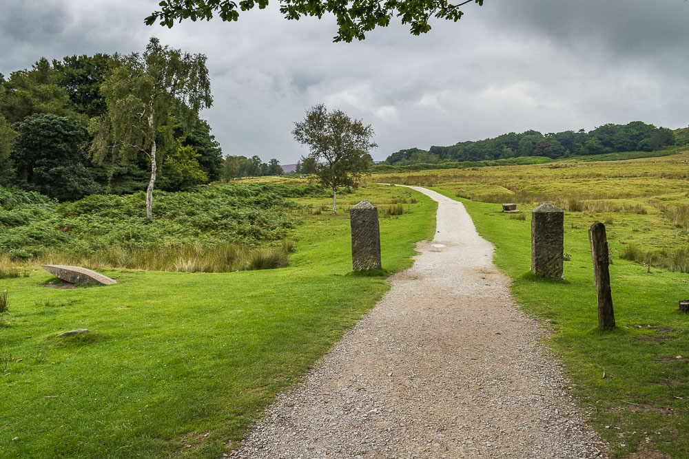
The first of three Companion Stones I will pass today. I have never located the stoop that this Companion Stone is associated with. Since getting home I've now researched its probable location in the book 'Guide Stoops of Derbyshire', which suggests it will be in the wood northeast of the Companion Stone. The next time I come this way I must make the effort to find it.
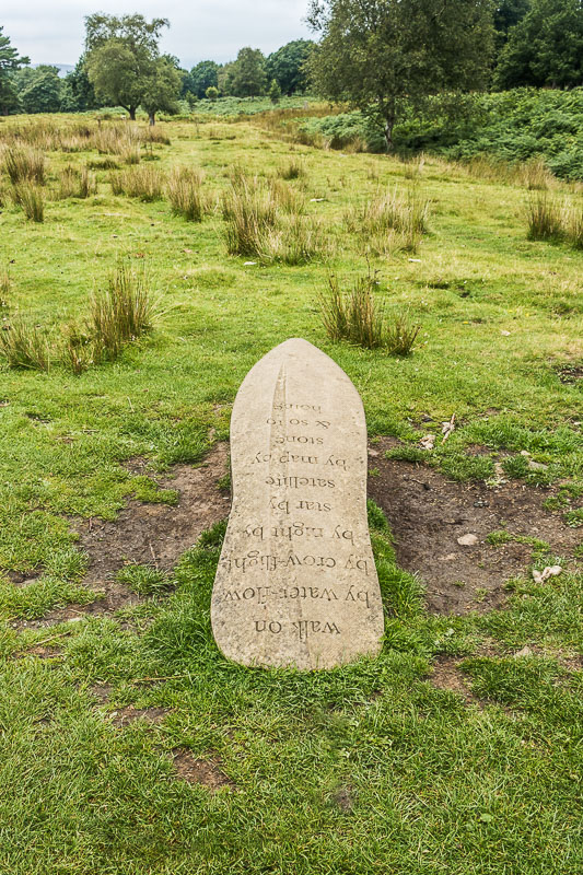
The poem on the Companion Stone is written by Ann Atkinson
and the stone was designed by Kate Genever.
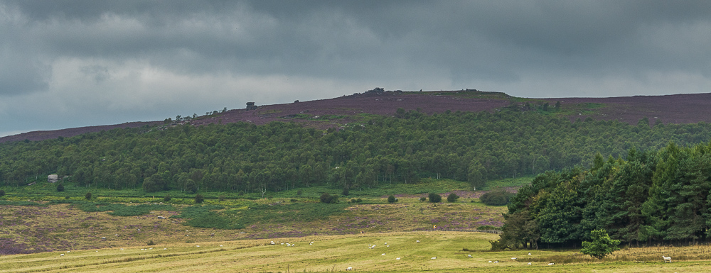
As I get close to the cafe and main car park, Over Owler Tor and Mother Cap can be clearly made out across the fields.
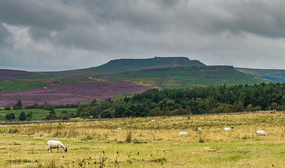
Carl Wark and Higger Tor are now also visible.
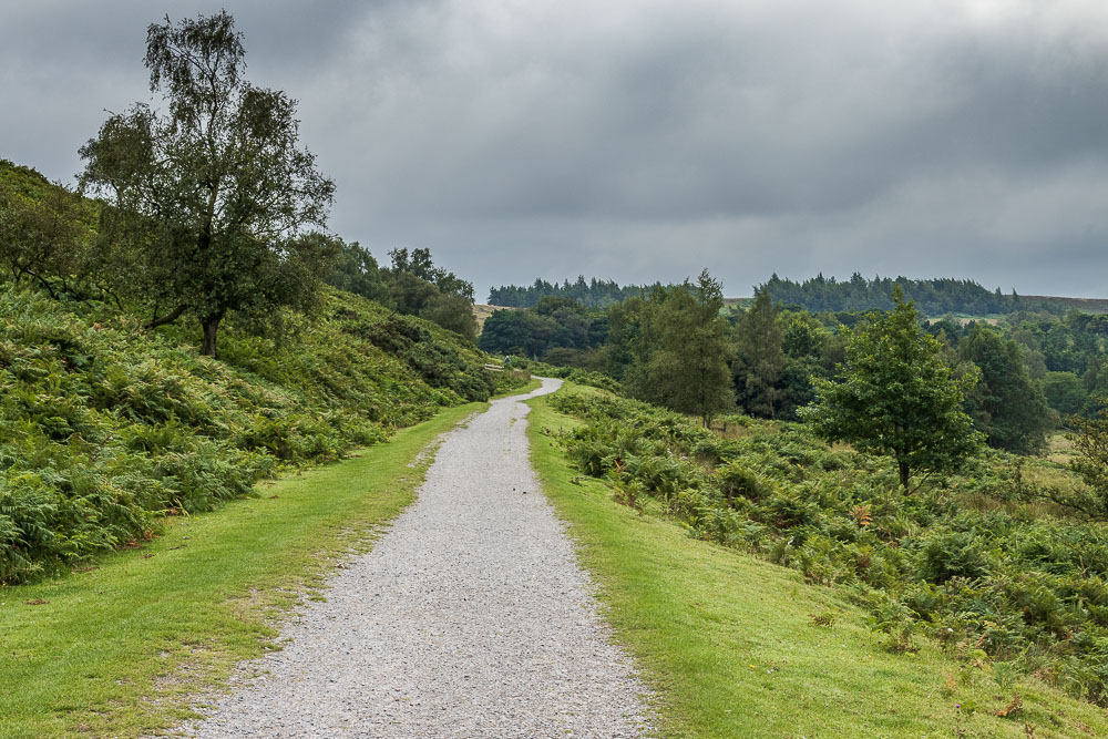
Having looped around the back of the cafe I'm soon heading back out of the estate.
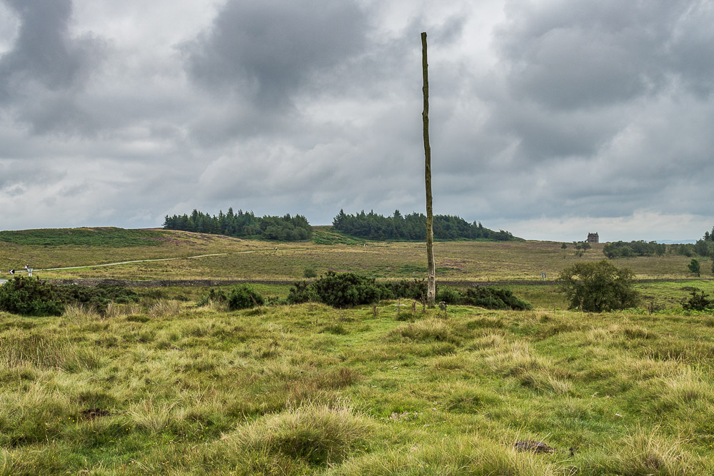
Just before I leave the estate I make the short diversion off the path to visit the Wooden Pole. Although this is not the original pole its location, at both a junction and a parish boundary, probably makes it, like the stoops, an ancient waymarker.
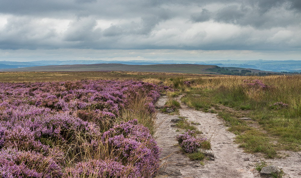
As I reach the top of White Edge Moor, White Edge comes into view. Time to start looking for a possible lunch spot.
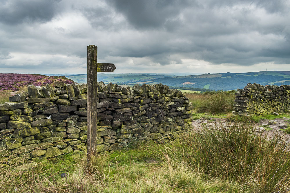
Having reached the wall where White Edge Moor stops and White Edge and Big Moor begin I still haven't found a spot to stop for lunch.
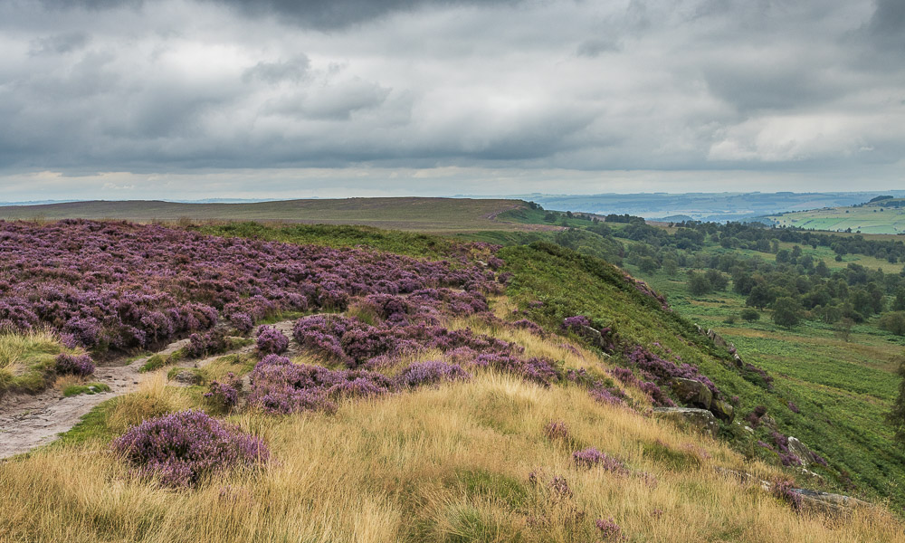
Having found what I thought was a good spot for lunch I take the time to study White Edge and can now see why someone has described the edge as having two tops.
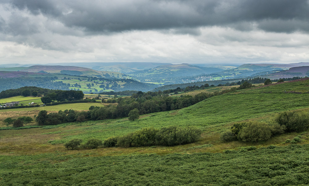
My lunchtime view along the Derwent Valley should have made this a pleasant spot to stop, unfortunately the midges came out and attacked me, so rather than taking the time to enjoy the view I moved on as fast as I could.
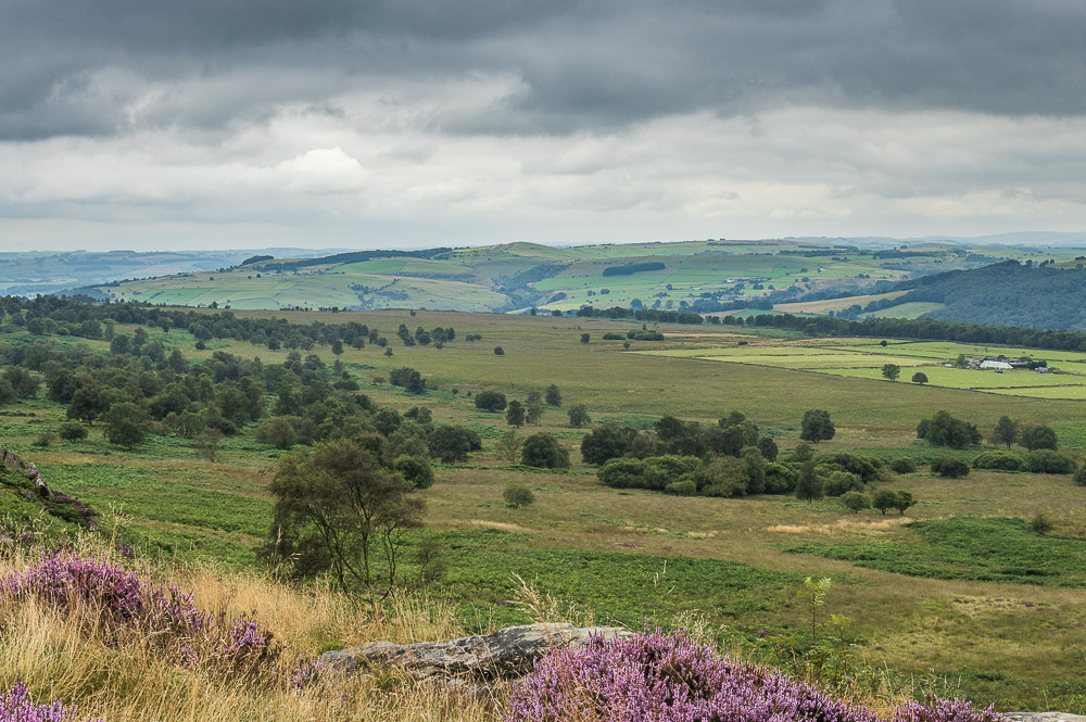
Looking across Stoke Flat to Froggatt Edge before I hurridly set off again in a mission to escape the midges.
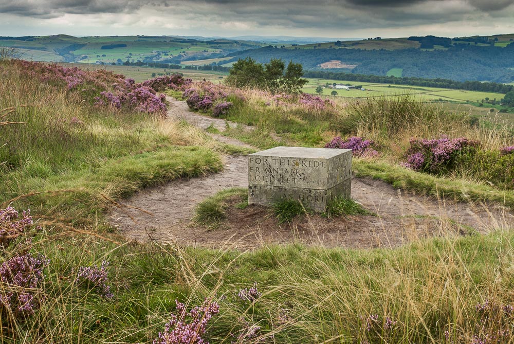
The second of the Companion Stones I will pass today is on White Edge. The designer is Jo Dacombe and the poem is by Mark Goodwin.
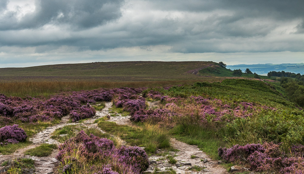
Heading along White Edge I can see what looks like being the location for the Bridget White Edge (Big Moor). Time to get the GPS back out.
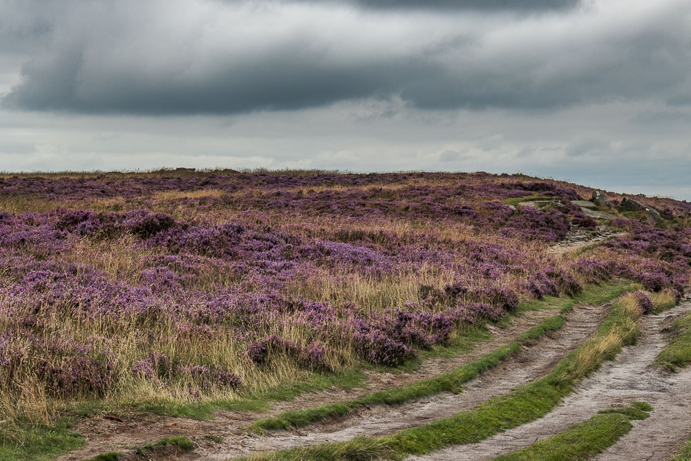
As I continue along the path the set of rocks that are the location of the Bridget White Edge (Big Moor) come into view. It will soon be time to venture off path again.
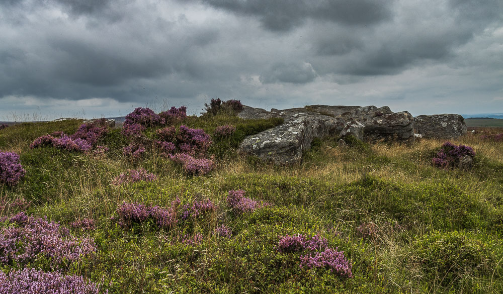
A short way from the path the GPS confirms that this is indeed the location I'm after.
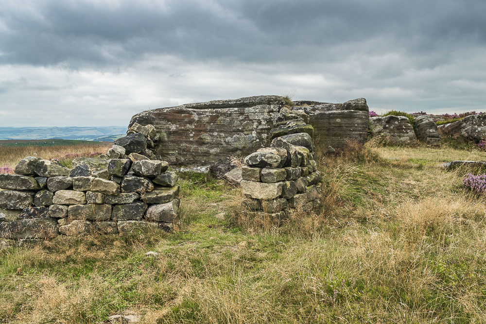
Venturing around the rocks I come across this shelter, which also confirms I'm in the correct location.
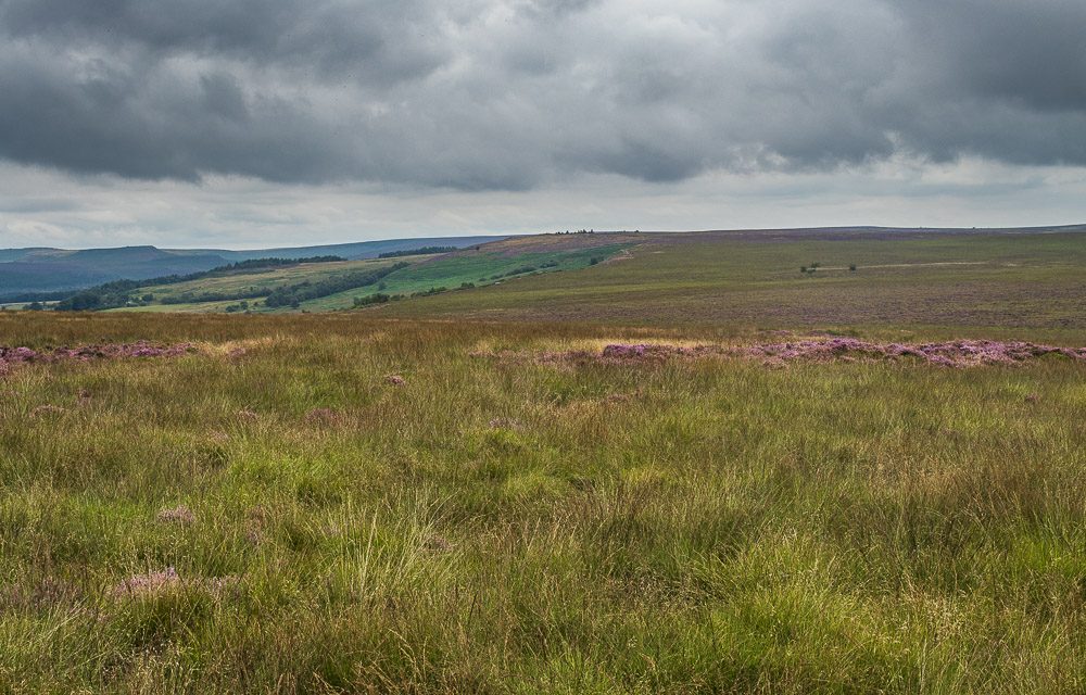
Looking back across Big Moor from the rocks.
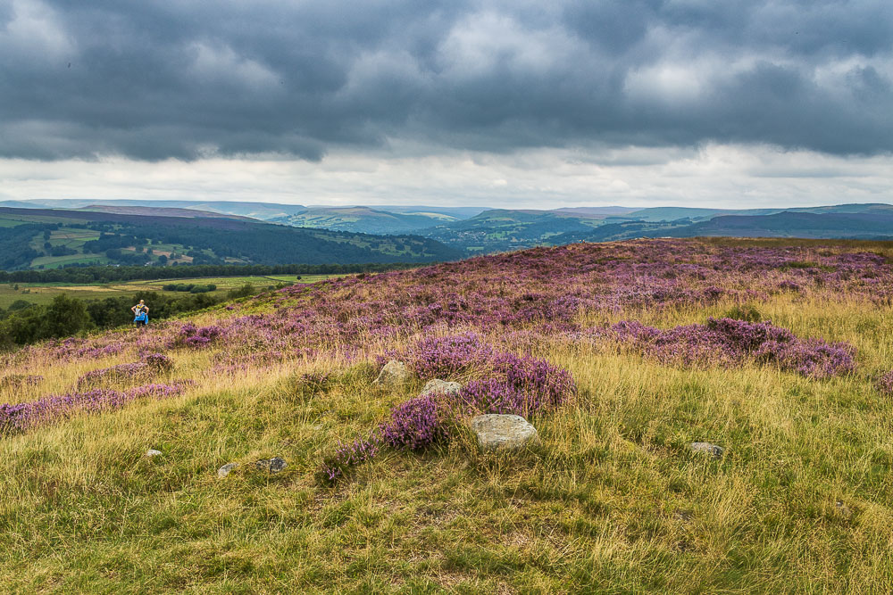
Heading back to the main path and it looks like there are some bright spots over towards Win Hill and Kinder.
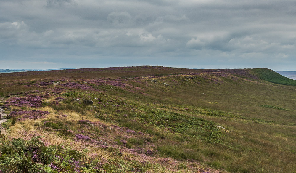
The next and more familiar summit of White Edge trig point is my next target.
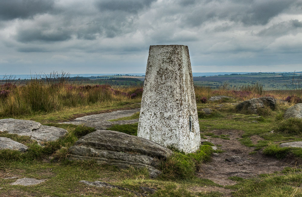
The trig is described as White Edge (South East Top) in the list of Bridgets. I was surprised it was so quiet here, but there again the numerous flying insects were probably putting people off stopping here.
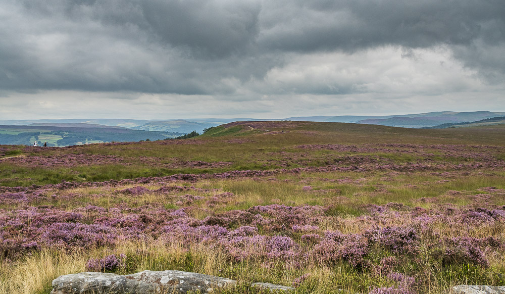
Looking back to the other Bridget on White Edge from the trig point.
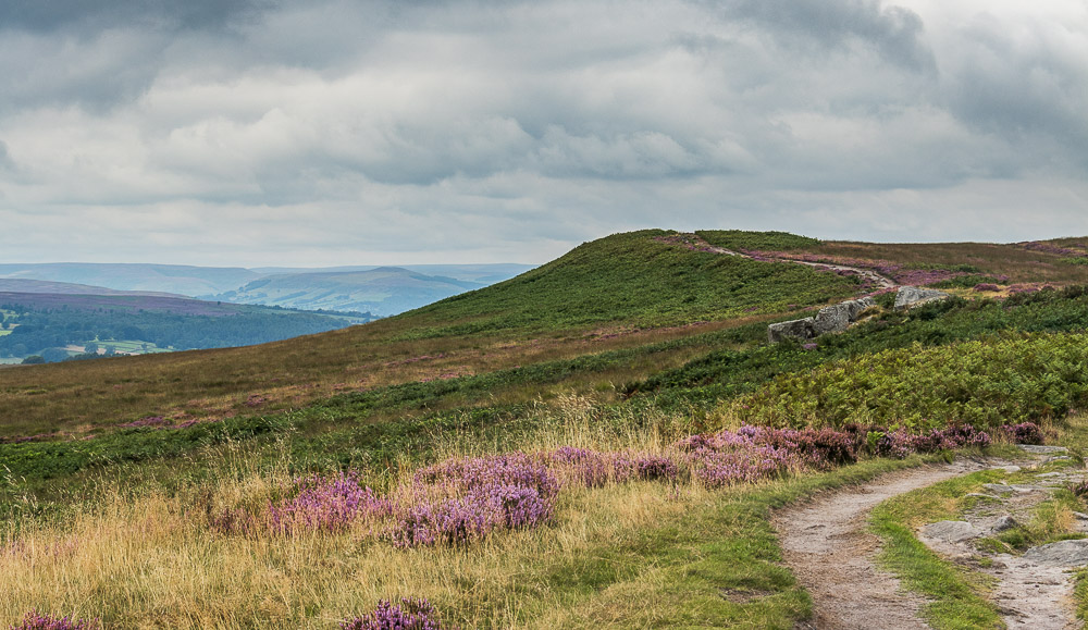
Shortly after leaving the trig I begin the short descent and get a final view of Win Hill before I drop off the edge.
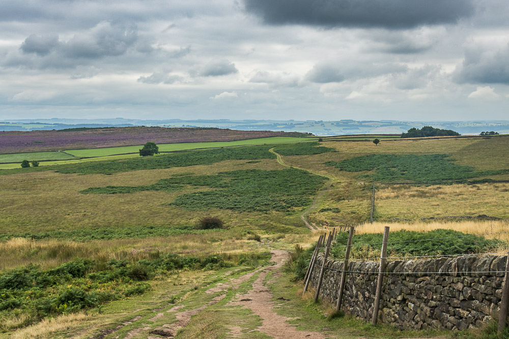
All that remains now is to follow the path downhill and across the fields to the car park.
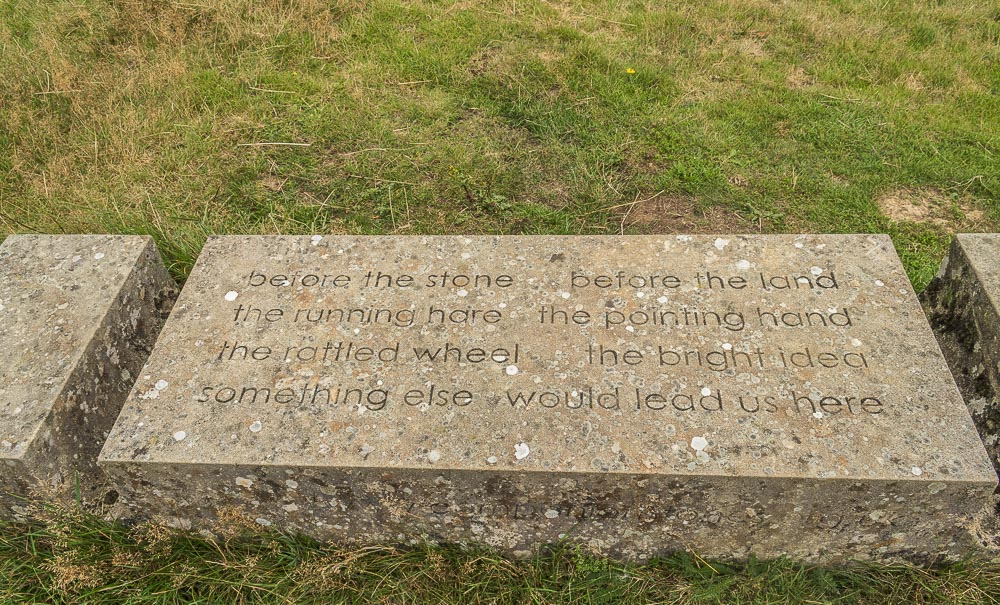
Just before I head through the gate into the car park there is time to visit the third Companion Stone of the day. Designed by Val Carmen with the poem written by CJ Allen.
Although I have frequently walked Curbar and White Edges I rarely do Longshaw Estate as part of a walk on these edges. I remain mystified as to why the original author chose to make it part of this walk, as the interesting sections of the estate are visited in other walks within the book. Possibly a consequence of the book being written by multiple authors. Not an extension to a walk on the edges I see myself doing on a frequent basis.
All pictures copyright © Peak Walker 2006-2023